
Hurricane’s Official ZIP Code
Current Utah ZIP material maps Hurricane to 84737. The USPS city and ZIP tools are the right place to check a mailing city, delivery address, or ZIP+4 question. The postal code is a useful starting filter, but it is not a resident database and it is not a polygon for Hurricane’s municipal boundary.
| ZIP | Area label | Postal route | Directory use |
|---|---|---|---|
| 84737 | Hurricane | Hurricane Post Office and USPS lookup | Narrow a mailing-address search |
| Nearby Washington County ZIPs | La Verkin, Virgin, Washington, St. George, and others | Separate USPS city labels | Check city and parcel before merging |
The inspected sources did not establish an official historical boundary or acceptance history for 84737. Do not estimate past coverage or assign a parcel from a ZIP alone. Keep the mailing label and the physical municipality as separate fields.
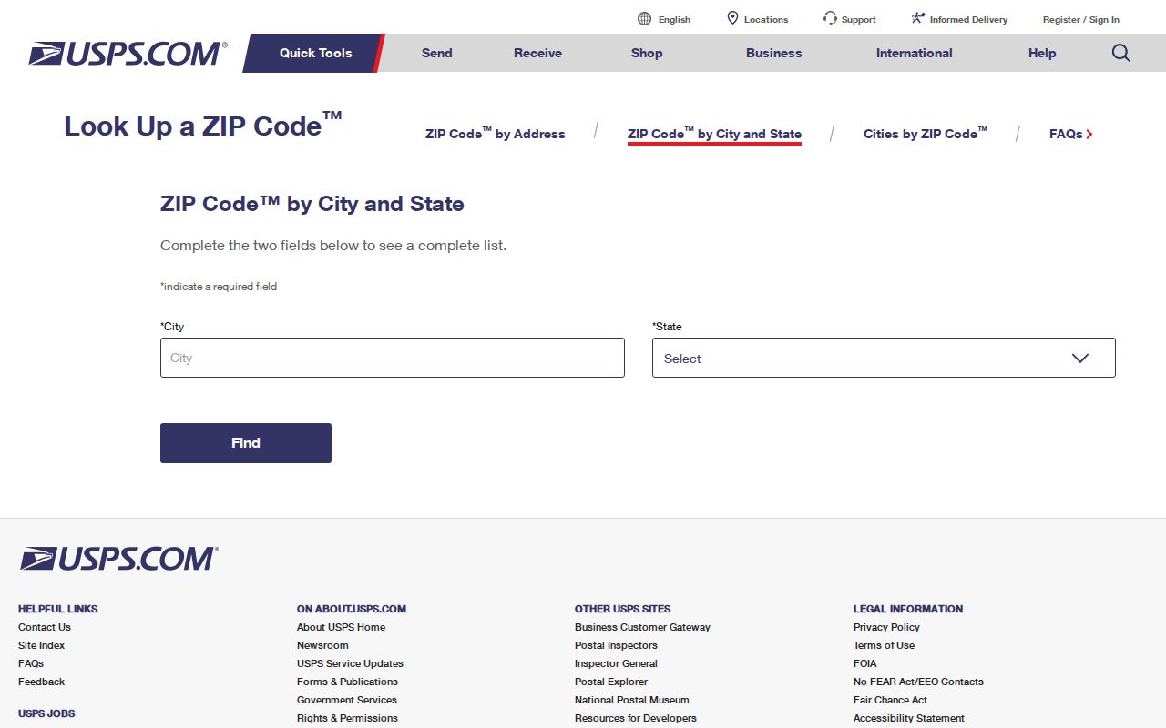
The USPS ZIP Code Lookup is the postal starting point for the Hurricane ZIP code directory.
Hurricane ZIP Code Is Not City Limits
A ZIP code can serve addresses across a mailing area, while city limits follow municipal boundaries. Hurricane’s city maps and Washington County GIS provide the better boundary context for a property or neighborhood question. The county GIS inventory includes city-limit layers, parcels, subdivisions, street centerlines, flood zones, and zoning.
Annexation planning can change how a place is described without changing every postal label at once. The 2018 Hurricane annexation plan is a planning reference, not a list of residents. When an address sits near La Verkin, Virgin, or Washington, search both the postal city and the county parcel route.
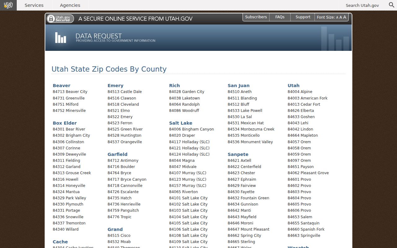
The Washington County GIS map inventory separates ZIP clues from parcel and city-limit layers.
Verify Hurricane ZIP Code Addresses
Use the Hurricane Post Office listing and USPS ZIP lookup for current mailing details. Search by city and state when a street address is uncertain, then compare the returned postal label with the county map. USPS results are the source for delivery information and ZIP+4, not for ownership or occupancy.
A complete note keeps the exact street string, city label, ZIP, ZIP+4 if returned, and access date. If the USPS route and county parcel disagree, do not pick the one that seems more familiar. Ask the relevant office which field controls the record you need.
Pair Hurricane ZIP Code with GIS
The county GIS Viewer verifies Address, Account Number, and Parcel ID number search paths. A ZIP can narrow the initial list, but the parcel ID is the stronger bridge to the Assessor and Recorder. Search the address, save the parcel and subdivision, then check whether the map places it inside Hurricane or another Washington County municipality.
| Postal clue | 84737 or a nearby ZIP returned by USPS |
|---|---|
| Physical clue | Full directional street address |
| County bridge | Account Number or Parcel ID number |
| Next record | Assessor property context or Recorder instrument search |
The county warns that detailed owner and mailing information can be a separate GIS data purchase, and parcel data subscriptions have listed fees. A free map view and a licensed data extract are different products. Do not promise that a ZIP query returns a full owner list.
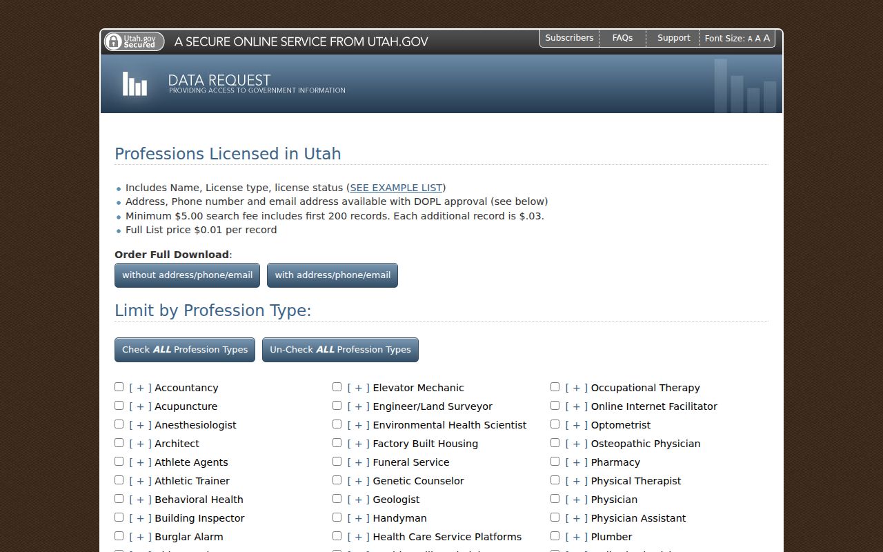
The Utah professional data request route shows why a ZIP can filter a public license search without defining a resident.
Hurricane ZIP Directory Nearby Codes
Postal city labels can also affect a newspaper or archive search. Washington County News is cataloged around the county and often surfaces St. George in its city facet, yet the inspected corpus contains Hurricane items. Search the county and publication first, then use the physical address or parcel to decide whether the item belongs in a Hurricane record trail. A ZIP label alone cannot make that decision.
Washington County’s nearby postal labels include La Verkin, Virgin, Washington, and St. George. A person or organization may use one of those labels while a map places the parcel close to Hurricane, or a Hurricane mailing label may not describe a municipal boundary. Search the exact street and county before combining results under one city name.
This matters for local news and historical records too. The Washington County News catalog often uses St. George as its city facet while its issues contain Hurricane items. Postal labels, catalog facets, and legal city names are useful clues, but they are not interchangeable.
Hurricane ZIP Code License Filters
Utah license and entity portals can accept a city or ZIP as a public business-location clue. DOPL’s Construction Business Registry lists company name, license number, city, state, ZIP, professional type, classification, and scope. The DOPL Licensee Lookup lists licensee name, city, profession, license number, and status. Utah Commerce entity searches provide a name-to-search route for organizations and registered principals.
These fields describe a credential or organization location. They do not prove a person’s home address or current Hurricane residence. Use the Construction Business Registry, DOPL Licensee Lookup, or Utah Commerce only when the question concerns a public license or entity.
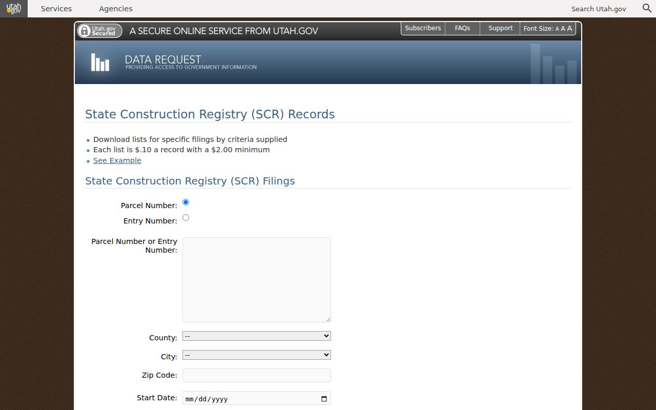
The Utah State Construction Registry illustrates how a ZIP can accompany a filing without becoming resident evidence.
Hurricane ZIP Code Construction Filings
The registry is most useful when the initial clue is a public project, company, or license. Keep the filing’s city and ZIP in the business-record column, then use county GIS for the physical parcel. If the filing names a professional, read the license status and classification as credential facts. Do not treat a construction filing as a household record simply because it contains a street or ZIP.
The State Construction Registry is another public route where a ZIP may appear with a company, classification, or filing. It can help connect a construction record to a public organization or work location. It is not an address-keyed resident roll. Check the company name, license number, city, state, ZIP, and professional type as separate fields.
When a construction clue comes from a Hurricane street, first use county GIS to identify the parcel. Then use the registry or city Building Department only for the construction question. The accessible Hurricane source did not expose CityInspect’s public search fields, historical coverage, or name display.
Hurricane ZIP Code Historical Labels
Older newspapers, yearbooks, and deeds may use a place name that does not match today’s postal label. Preserve the spelling and the source date. Search “Hurricane,” Washington County, nearby settlements, and the street or school name. For property history, a legal description, subdivision, lot, block, or parcel bridge is more stable than a ZIP copied from a modern mailing label.
Hurricane’s address grid begins from State Street or SR 9 and Main Street. Directional prefixes matter. No official street-renumbering year was located, so a failed old-address search should move to the parcel or legal description rather than a guessed conversion date.
Hurricane ZIP Code Population Context
Hurricane grew from 13,748 residents in the 2010 Census to 20,036 in the 2020 Census, with a July 1, 2025 estimate of 25,745 in the inspected QuickFacts material. Those figures explain why current parcel, annexation, and postal geography deserve careful checking. They do not identify a person, define 84737, or replace a resident record.
Use the Census QuickFacts for population context only. For a person or parcel, return to USPS, GIS, the Assessor, Recorder, voter route, or the appropriate local collection.
Make a Hurricane ZIP Code Search
USPS, county GIS, and the Utah ZIP list can change at different times. Record the date for each check rather than relying on a cached search result. That small habit matters when a later reader needs to tell a changed postal label from a changed parcel or city boundary.
When a ZIP result feeds a person search, the next step should be a record-specific check. A parcel clue belongs with the Assessor or Recorder. A court clue belongs with Xchange. A school or family clue belongs with newspapers, yearbooks, vital records, or the archive. This keeps postal geography from being mistaken for identity evidence and makes the final note easier for another researcher to repeat.
A good Hurricane ZIP code directory note states the postal source, the exact city and state query, the returned ZIP, the physical address, the county parcel result, and the date. If the result came from a license or construction record, label it as a business or credential address. If it came from a voter or property system, follow that source’s privacy and meaning rules.
- Check the official USPS or Utah ZIP list.
- Write the full address and postal city exactly as returned.
- Locate the parcel in county GIS and save its identifier.
- Confirm the record custodian and search field before opening names.
- Keep unresolved ZIP history or boundary gaps labeled as gaps.