
Sources for Hurricane Previous Residents
Each source covers a different slice of an address history. The Recorder follows instruments. A directory or newspaper can show a household or event. A birth register can connect a child, parent, residence, and attendant for a public archival period. A permit may show an owner or applicant. The table keeps those meanings apart.
| Source | Years it covers | Where held | What it shows |
|---|---|---|---|
| Recorder and GIS property trail | Modern, with historical links | Washington County | Parcel, instrument, legal description |
| Old Abstract | 1854 to 1992 | County GIS map inventory | Historical property bridge |
| Washington County News | 1898 onward | Utah Digital Newspapers | Local names, events, obituaries |
| Hurricane High yearbooks | Verified 1928, 1930, 1931, 1938, 1941 | Utah Tech WASH-031 | Students and school cohorts |
| Birth registers | 1898 to 1905 | Utah State Archives | Child, parent, residence, attendant |
A continuous Hurricane city-directory or reverse-directory run was not verified. That absence changes the plan, but it does not end a house-history search. Use the current parcel as the stable key and combine the best source available for each era.
Start a Hurricane Previous Residents Search
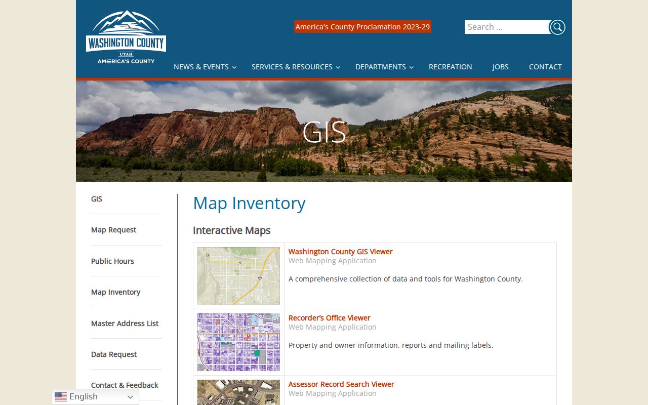
Enter the full address in the Washington County GIS Viewer. The verified search methods are Account Number, Parcel ID number, and Address. Save the parcel ID, account number, subdivision, and map layer. Those values are more stable than an old street string and can be carried into the Assessor, Recorder, and historical map inventory.
The current parcel is a bridge, not a claim about past residents. A subdivision may have changed, an address may have been renumbered, or a parcel may have been split. Keep the current situs address, mailing address, and legal description in separate fields.
The county GIS Viewer supplies the present parcel key for researching Hurricane previous residents.
Walk the Hurricane Previous Residents Deed Chain
The Recorder Document Search accepts parcel and name fields, recording dates, subdivision, lot, block, unit, PLSS, legal text, book, and page. Its instrument selector includes deeds, trust deeds, mortgages, releases, easements, plats, liens, judgments, court orders, historical documents, assessor scans, water-right deeds, and mining records.
- Pull the current parcel and legal description from the county property route.
- Search the Recorder for the parcel or current owner’s purchase instrument.
- Read the grantor and grantee fields, then search the earlier party and date.
- Repeat backward while preserving the instrument number and legal description.
- Move to the Old Abstract or year-based ownership maps when the modern index no longer reaches the needed era.
- Grantor
- The party transferring an interest in a recorded instrument.
- Grantee
- The party receiving that interest.
- Chain of title
- The linked sequence of recorded transfers for a property.
- Legal description
- Boundary language that can identify land even when the street address changes.
The Recorder fee page verifies a $45 document amount plus $2 for each legal description over ten. Exact current image and certification amounts were not located in the inspected text. An index line is a lead; cite the document or certified copy when the detail matters.
The Washington County Recorder fee page is part of the practical cost check for a Hurricane previous residents search.
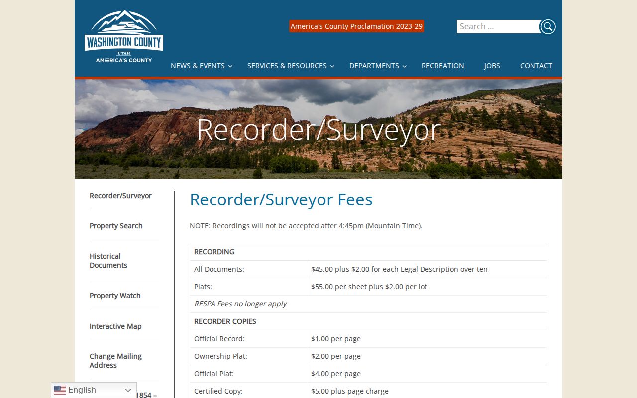
The Washington County Recorder is the main route from a parcel to previous owners in the Hurricane area.

Hurricane Previous Residents in Old Abstracts
Washington County’s map inventory explicitly lists an Old Abstract covering 1854 through 1992 and Ownership Plat Maps organized by year, tax parcel, and property lines. That is an unusually useful bridge for previous residents because a modern parcel can lead to historical boundary material even when a street number is not the same.
Use the legal description and map year to test continuity. A historical tract may later become a subdivision, and an old parcel may not have a current one-to-one match. The inventory does not establish that every image is online or every address can be searched directly. Record the title, year, map reference, and access date.
Compare Hurricane Ownership Maps by Year
Ownership Plat Maps by year are most useful when the question is about land arrangement, tract names, and boundary change. Compare the same area across two or more dates, but do not call a map label a household. A tract owner, estate, company, or trust may appear where a directory would have listed an occupant.
Pair the map with Recorder instruments and the current GIS parcel. Note whether a street, lot, block, or subdivision appears in both sources. If it does not, retain the older description and ask the Recorder or archive for the correct bridge rather than forcing a modern address onto it.
Use Hurricane News for Previous Residents
The Washington County News begins in 1898 and contains Hurricane items even when the catalog city facet is St. George. Search the paper and county, then try the street, ward, school, canal, and surname. Inspect the page image because OCR can omit a first letter, confuse a street number, or miss a line break.
A clipping may report a wedding, birth, social visit, farm move, city action, or obituary. Each can connect a name with a time and place. It cannot prove ownership or continuous presence. Preserve the issue date, page, and URL, then compare the result with the deed chain or a school collection.
Match Hurricane School Years to Names
Hurricane High yearbooks offer a human-use clue for previous residents. The WASH-031 finding aid verifies The Cyclone from 1928, Fault Finder from 1930, The Hurricana from 1931, Red and Black from 1938, and Typhoon from 1941. Search by title and year, not only by the school name. Repository reading-room, application, and photo-ID rules apply.
A yearbook can show a student, family name, club, sport, or cohort. It does not establish a current address. Pair its date with a newspaper item, birth register, cemetery entry, or property instrument only when the identity and place are consistent.
Hurricane Birth and Cemetery Records
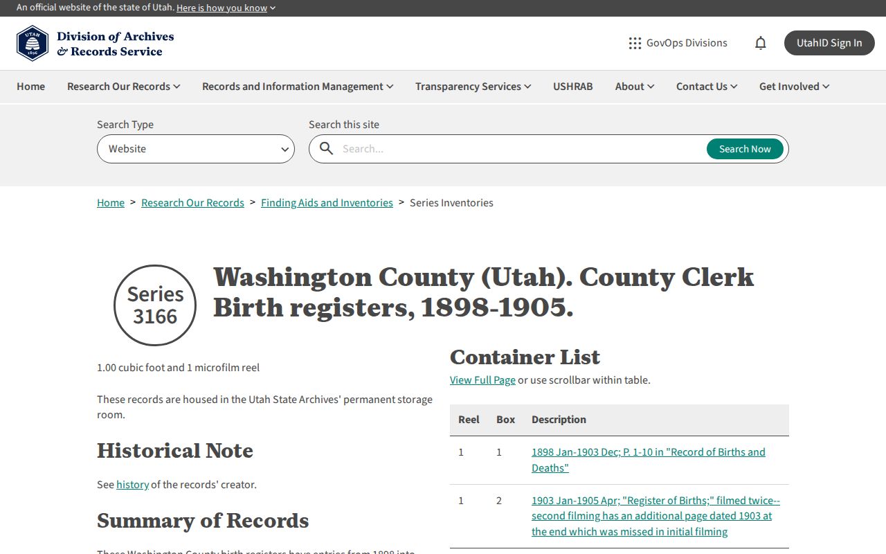
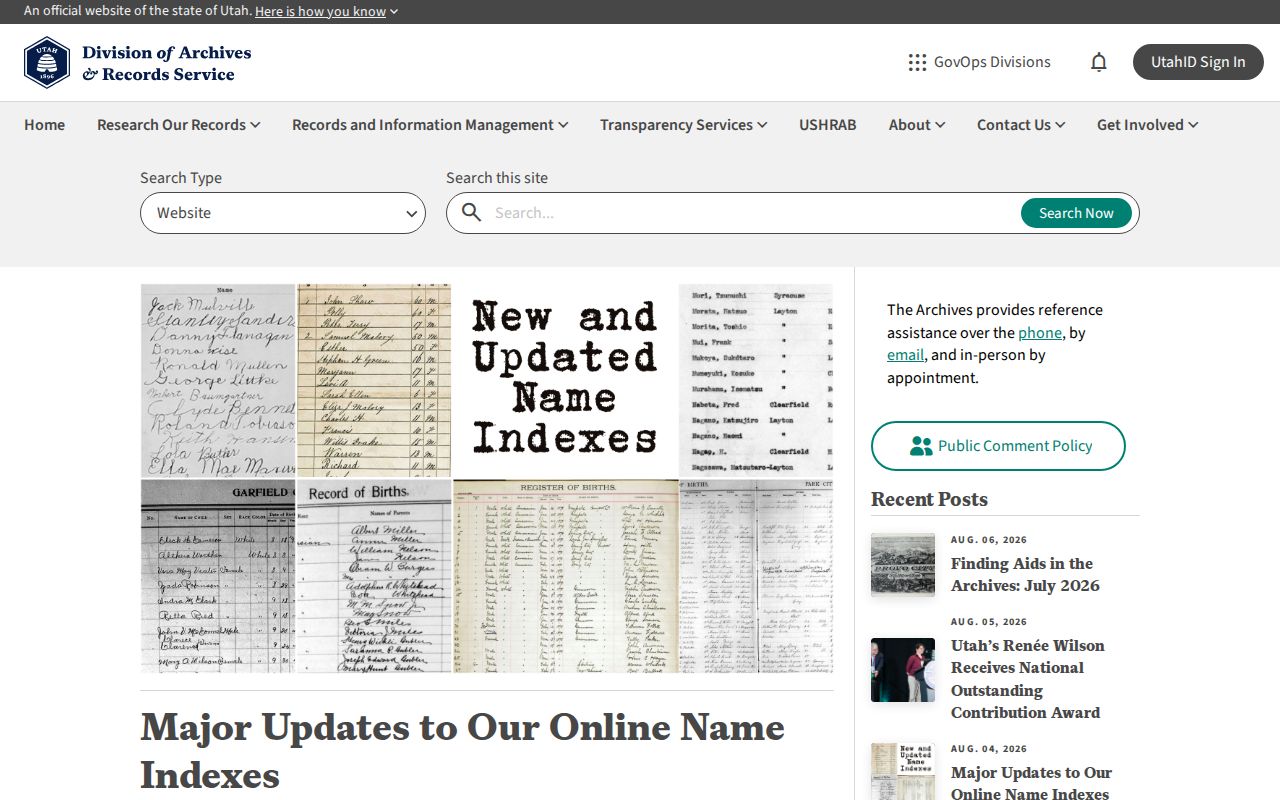
The State Archives’ Washington County birth-register series covers 1898 through 1905 and has a name index with digital images. Registers include child, parent, residence, and attendant fields. The August 4, 2026 archive update added or expanded direct digital-image links for Washington County birth indexes and reports.
The Washington County birth-register inventory supplies a dated archival path for Hurricane previous residents.
The August 4, 2026 State Archives update adds a timely index doorway for Washington County research.
Later vital records follow Utah’s release rules: births after 100 years, deaths after 50 years, and marriage or divorce after 75 years become public, while earlier certified copies require eligibility and identity or relationship documentation. A cemetery Web Map can support a burial connection, but it is not an occupancy record. Request the smallest eligible record and label a family link as a family link.
Resolve a Hurricane Previous Residents Address
Hurricane’s local address grid uses State Street or SR 9 and Main Street as reference lines for directional numbers. No official street-renumbering year or conversion project was located. If an older source does not match the current number, keep its wording, search the legal description, and compare subdivision, lot, block, and parcel clues.
Do not use a guessed conversion to join two people or households. A current GIS parcel and a Recorder legal description are stronger bridges. The Hurricane by-street search explains the address-keyed workflow, while the city directory collections page identifies the historical shelves.
Hurricane Historic Houses Need Records
The Hurricane Historic District was listed in 1995. Descriptions include sandstone gutters, the Hurricane Canal, Victorian eclectic cross-wing houses, one-story foursquares, bungalows, 1906 to 1940 period-revival cottages, commercial brick from 1911 to 1922, the 1925 Dixie Hotel, and 1930s PWA Modern buildings. These features can help place a parcel in context.
Architecture cannot identify a former resident by itself. Use the district or building clue to prioritize a parcel, then follow maps, deeds, photographs, and newspapers. The physical story is corroboration for a documented house history, not a replacement for one.
Separate Owners from Residents
Previous residents are a household question, while the Recorder is primarily an ownership and instrument question. A former owner may have lived elsewhere. A directory or newspaper may list a family member, student, guest, or other household member. A mailing address may sit outside Hurricane. Write “owner,” “occupant lead,” “party,” or “historical mention” instead of flattening all results into one label.
- Criss-cross directory
- A reverse directory arranged by address or telephone number, when a local collection exists.
- Enumeration district
- A geographic area used by a census taker, which may not match a modern street boundary.
- Index versus image
- The index points to a record; the image or certified copy supplies the underlying detail.