
Finding a Hurricane Street Address
A street-by-street search works best when the address is treated as a property key first. Start with the county map or property search, keep the account or parcel number, and only then follow names. That order reduces errors caused by a missing directional letter or a similar street name. It also keeps ownership evidence separate from clues about who may live at the place.
- Enter the complete address in the Washington County GIS Viewer or the linked Assessor search.
- Record the Account Number, Parcel ID number, subdivision, and map position.
- Check the Recorder index with the parcel, legal description, name, or date range.
- Use the voter route only for its defined public fields, and note that it does not list every household member.
- For an older household, compare newspapers, yearbooks, cemetery material, or a historical directory lead.
That five-part walkthrough produces a street record, not a guaranteed occupancy list. It can show the owner of a parcel, a recorded party, or a registered voter. An unlisted household member, child, or protected participant may be absent.
Hurricane’s State Street Starting Point
Hurricane’s directional address system is tied to State Street, also identified as SR 9, and Main Street. Those roads are the local origin lines for north, south, east, and west numbers. A historical reference that says only “Main” or omits a direction should be preserved as written, then tested against the current map and legal description.
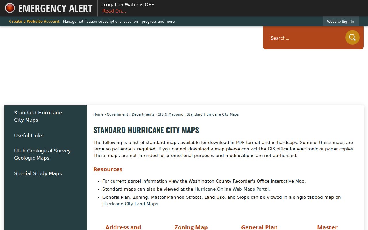
The city’s standard map page is useful for orientation, while county GIS is the stronger parcel bridge. No official Hurricane street-renumbering year or conversion project was located. Do not invent one when an older number fails. Search the legal description, subdivision, lot, block, or parcel ID instead.
The official Hurricane map collection supplies local grid context for a street directory search.
Hurricane Street Search Fields
The county quick-start guide verifies three search methods in the GIS Viewer. The field label matters because a parcel ID is not the same thing as a street address. Once the map returns a parcel, use the result as the handoff to the county Assessor and Recorder.
| Field | Type | Best use | Keep with result |
|---|---|---|---|
| Account Number | Parcel/account value | Open the tax-property record | Account number and as-of date |
| Parcel ID number | Mapped identifier | Locate one parcel | Parcel ID and map layer |
| Address | Street search | Find the current place | Full directional address |
The GIS department lists parcel polygons, subdivisions, street centerlines, contours, streams, city limits, flood zones, and zoning among its layers. Those layers explain where a street sits and which jurisdiction may hold a record. They do not prove that an owner occupies the property or that everyone at the address is publicly listed.
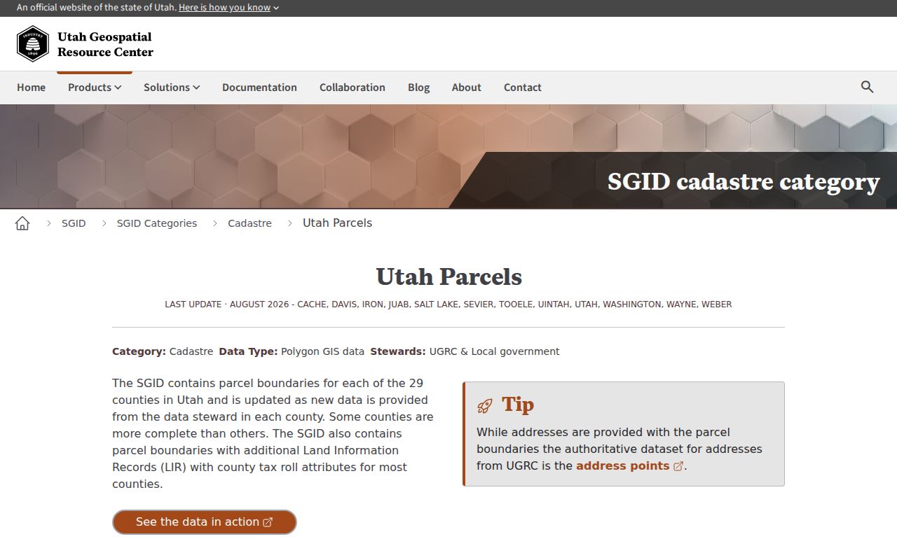
The Washington County GIS Viewer is the verified address-to-parcel starting point.
Hurricane Records by Address
Five record sets can touch a street search, but they do not carry the same meaning. The Assessor is about taxable property. GIS is about map and layer context. The Recorder is about instruments. The voter file is a defined public election record. City permits and code forms can contain an address and a person field, but their search behavior must be confirmed.
| Record set | Keeper | What it may show | Access note |
|---|---|---|---|
| Property record | Washington County Assessor | Parcel, value, owner or mailing context | Official property search |
| GIS parcel map | Washington County GIS | Adjacent parcels, streets, city limits, layers | Free viewer route |
| Deed or lien index | County Recorder | Recorded parties, dates, legal descriptions | Index and copy fees differ |
| Voter record | Utah election system | Defined public voter fields | Withholding rules apply |
| Permit or complaint | Hurricane departments | Address and selected applicant/report fields | CityInspect fields unverified |
The parcel number often ties the first three sets together. It does not tie them to one verified household. A Recorder party can be a lender, trustee, estate, or lien claimant. A mailing address can be outside Hurricane. A code complaint form requires the physical address and asks for a reporting party, whose information is stated to be kept confidential for the code officer or prosecutor.
Following a Hurricane Parcel into Deeds
Washington County describes the Recorder as maintaining document records, cross-reference indexes, public viewing and retrieval, copies and certifications, and plats showing current ownership. Military discharges can also be recorded, with certified copies available at no charge according to the county contact material. Those services belong to the Recorder’s office, not the Assessor, so a request should name the exact instrument and copy type.
The Washington County Recorder Document Search supports an address trail through parcel number, last and first name, recording-date range, subdivision, lot, block, unit, PLSS, legal text, book, and page. It covers conveyances, deeds, trust deeds, mortgages, releases, easements, plats, liens, judgments, court orders, historical documents, assessor scans, water-right deeds, and mining records.
Use the modern parcel first. If the name search returns several parties, narrow by subdivision or date. The Recorder fee page verifies a $45 document amount plus $2 for each legal description over ten. Exact current copy, certification, and online-image amounts were not located in the inspected text. Cite the instrument or image when a result matters, rather than presenting an index line as the whole record.
- Situs address
- The physical location of a parcel, distinct from a tax mailing address.
- Parcel
- A mapped property unit with a county identifier.
- Plat
- A recorded map that lays out lots, blocks, streets, or boundaries.
Hurricane Streets in Old Abstracts
Subdivision maps are particularly helpful in Hurricane because the address question can change as land is divided. The county map inventory links Ownership Plat Maps by year, tax parcel, and property lines, while the Recorder search can test a subdivision, lot, block, or unit. Keep the map year beside the parcel reference. A current parcel number should not be copied backward onto a tract unless the records show the connection.
Washington County’s GIS map inventory lists an Old Abstract covering 1854 through 1992 and Ownership Plat Maps organized by year, tax parcel, and property lines. Those resources are valuable when a modern street address does not match an older legal description. A subdivision name, lot, block, or unit can be the bridge between the current parcel and a prior map.
This historical layer is a research lead, not a promise of a complete online chain. Capture the map title, year, parcel reference, and access date. The exact image coverage and interface should be checked before saying that every older Hurricane address can be searched from home.
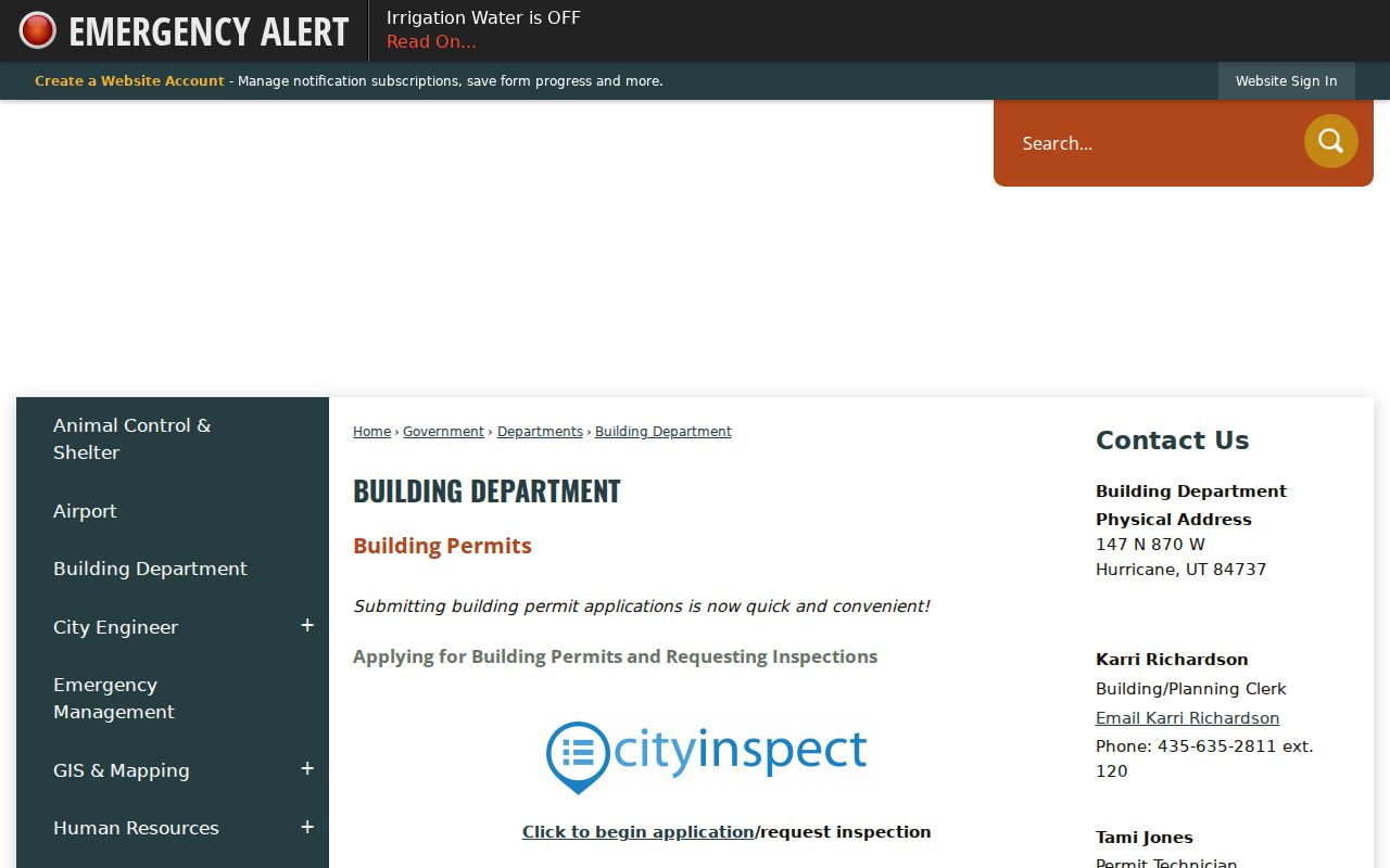
The Hurricane Building Department adds address-linked permit context to a street directory search.
Hurricane Address Clues in City Records
Hurricane’s Building Department links to CityInspect, says online fees can be paid by e-check, and identifies the 2021 IRC, 2021 IBC, and 2020 NEC as effective July 1, 2023. An accessory structure under 120 square feet may be exempt from plan review in the stated circumstance, though electrical or plumbing work may still need a permit. The accessible source did not expose CityInspect’s public search fields, historical coverage, or person-name display.
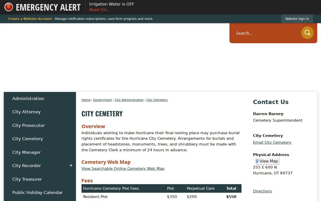
The City Cemetery page supplies an online Cemetery Web Map and identifies the cemetery at 255 E 600 N. It lists resident and nonresident plot and care amounts, opening and closing charges, transfer, and exhumation fees, with a warning that policies can change. Interment evidence can connect a name to a family or place, but it does not establish residence at a nearby street address.
The Hurricane City Cemetery page is a distinct address-linked source in a street directory search.
Hurricane Street News Records
The Washington County News corpus begins in 1898 and includes Hurricane local items even though the catalog often presents St. George as the city facet. Search the paper and county together, then inspect page images for names, streets, wards, schools, canals, and community events. OCR is a discovery aid. The original issue date and page are the evidence to retain.
A newspaper reference can place a person at an event, announce a marriage, or describe a building. It cannot by itself prove ownership or continuous residence. Compare it with a deed, a city record, a yearbook, a cemetery source, or an archival index before treating the street connection as established.
Hurricane Streets in Historic Context
Hurricane’s growth also makes a date useful. The Census material records 13,748 residents in 2010, 20,036 in 2020, and an estimated 25,745 in 2025. That population change is context for new parcels and annexation questions, not proof that a particular address gained or lost a household. The map, instrument, and dated directory entry still do the identity work.
The Hurricane Historic District was listed in 1995. The Utah Historical Society describes sandstone gutters, the Hurricane Canal, Victorian eclectic cross-wing houses, one-story foursquares, bungalows, 1906 to 1940 period-revival cottages, 1911 to 1922 commercial brick, the 1925 Dixie Hotel, and 1930s PWA Modern buildings. These clues can explain why a parcel and newspaper search may point to a historic district rather than a newer subdivision.
Architecture is corroboration, not identity proof. Start with the parcel, follow the deed or plat, and use a photograph or building description only to test the match. A historic street directory entry may show a past household, while the current map shows the present parcel. Those are related records, not interchangeable facts.
What a Street Directory Cannot Show
That limit protects accuracy.
The county’s GIS data-request page makes the same distinction at the data-product level. It lists a $500 initial parcel-data subscription and $100 update, with basic tax ID and address in the parcel product. Detailed owner and mailing information is a separate purchase from IT, and street data has its own $100 initial and update amounts. A public viewer, a one-off inspection, and a licensed data extract are not the same access route.
A public street directory cannot promise a full list of occupants. Utah driver records are controlled by Utah Code 53-3-109 and federal privacy law. Utility customers, delivery routes, private association rosters, and protected addresses are not open substitutes. The voter file has defined public fields and withholding routes, not a list of every person sleeping at an address.
Use the street trail for a house history, family research, civic record, or personal safety awareness. Keep the result narrow and date-stamped. If a person is protected under Safe at Home, do not try to infer the actual address from nearby parcels or other public records.