
Hurricane Block Lookup Sources
One block can be described by a map, a recorded instrument, a historical newspaper, an aerial layer, or a postal label. Those sources are useful together only when their roles stay clear. A parcel map shows geography. An owner field names a recorded interest. A local news item supplies dated context. A ZIP is a mailing clue. None of them guarantees a list of everyone who lives nearby.
| Source | What it shows about a block | Access |
|---|---|---|
| Washington County GIS | Parcels, streets, city limits, layers | Online viewer |
| Recorder Office Viewer | Owner, report, mailing-label context | County portal, currentness varies |
| Recorder Document Search | Recorded parties and legal descriptions | Index, copy rules apply |
| Aerial Photo Viewer | Structures and road context over time | County map inventory |
| Washington County News | Dated names, places, community items | Online corpus and images |
| Utah voter route | Defined public voter fields | Privacy and withholding rules |
Start with one address and move outward to parcels that share a boundary or street edge. A “neighbor” in a social sense may not be an adjacent parcel, and an adjacent parcel may be vacant, commercial, or owned by an entity.
Map Hurricane Neighbors by Parcel
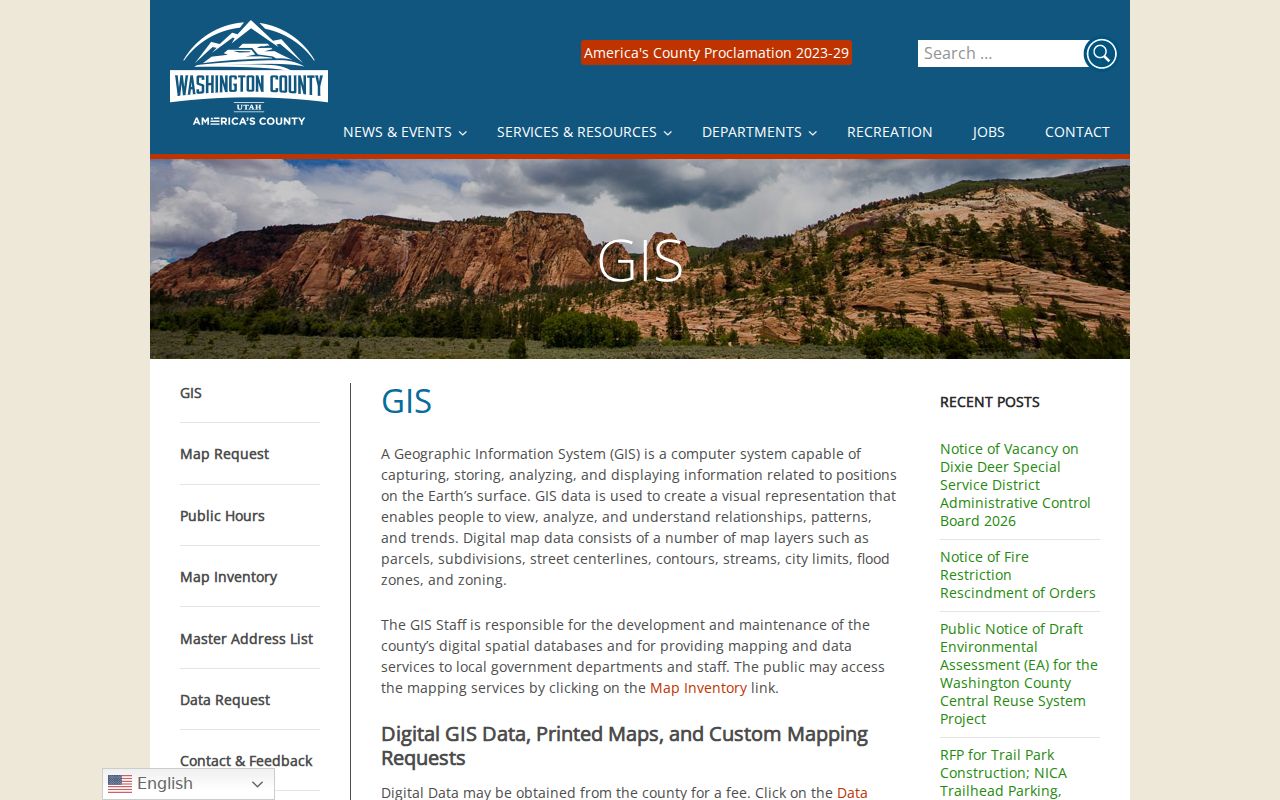
Enter the known address in the Washington County GIS Viewer. The county layers include parcel polygons, subdivisions, street centerlines, city limits, flood zones, and zoning. Click the parcel beside the starting one and record its parcel ID, legal description, and map layer. The county’s Recorder Office Viewer and Assessor Record Search Viewer can provide different property context.
- Locate the known address and save the current parcel identifier.
- Identify every parcel sharing a boundary or relevant street segment.
- Check each parcel’s ownership or mailing field without calling it occupancy.
- Use subdivision, lot, block, or unit clues when the address is irregular.
- Date-stamp the map and return later if the question concerns a changing record.
The Washington County GIS department documents the layers used to orient a Hurricane neighbors search.
Hurricane Neighbor Subdivision Fields
The Recorder search is useful when street addresses are incomplete or a block sits inside a named development. It accepts subdivision, lot, block, unit, legal text, parcel number, recording date, book and page, PLSS values, and name fields. The instrument selector covers deeds, easements, plats, liens, releases, mortgages, judgments, court orders, historical documents, and other instruments.
| Subdivision | Narrows a named development or plat area. |
|---|---|
| Lot, block, unit | Connects a parcel to a recorded layout. |
| Parcel number | Provides a modern property key. |
| Legal text | Bridges a description that does not match a street address. |
A name returned from the Recorder can be an owner, grantor, grantee, trustee, lien claimant, or representative. The county fee page verifies $45 for a document amount plus $2 for each legal description over ten. Confirm current copy and image charges with the office.
The Washington County Recorder Document Search supplies the fields that connect an adjacent parcel to recorded history.
Hurricane City Limits and Annexation
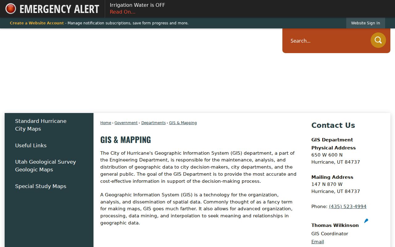
A block can sit near a city edge, and a postal city can differ from a municipality. Hurricane’s 2018 annexation plan and city maps supply planning context. Washington County GIS adds city-limit and parcel layers. Use those sources to decide which office holds a record, not to infer a household from a boundary.
ZIP 84737 maps to Hurricane, while nearby Washington County ZIPs map to La Verkin, Virgin, Washington, and St. George. A ZIP is not a block boundary. If a neighboring parcel has a different postal city, check the physical map and jurisdiction before combining records.
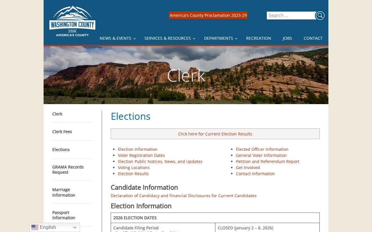
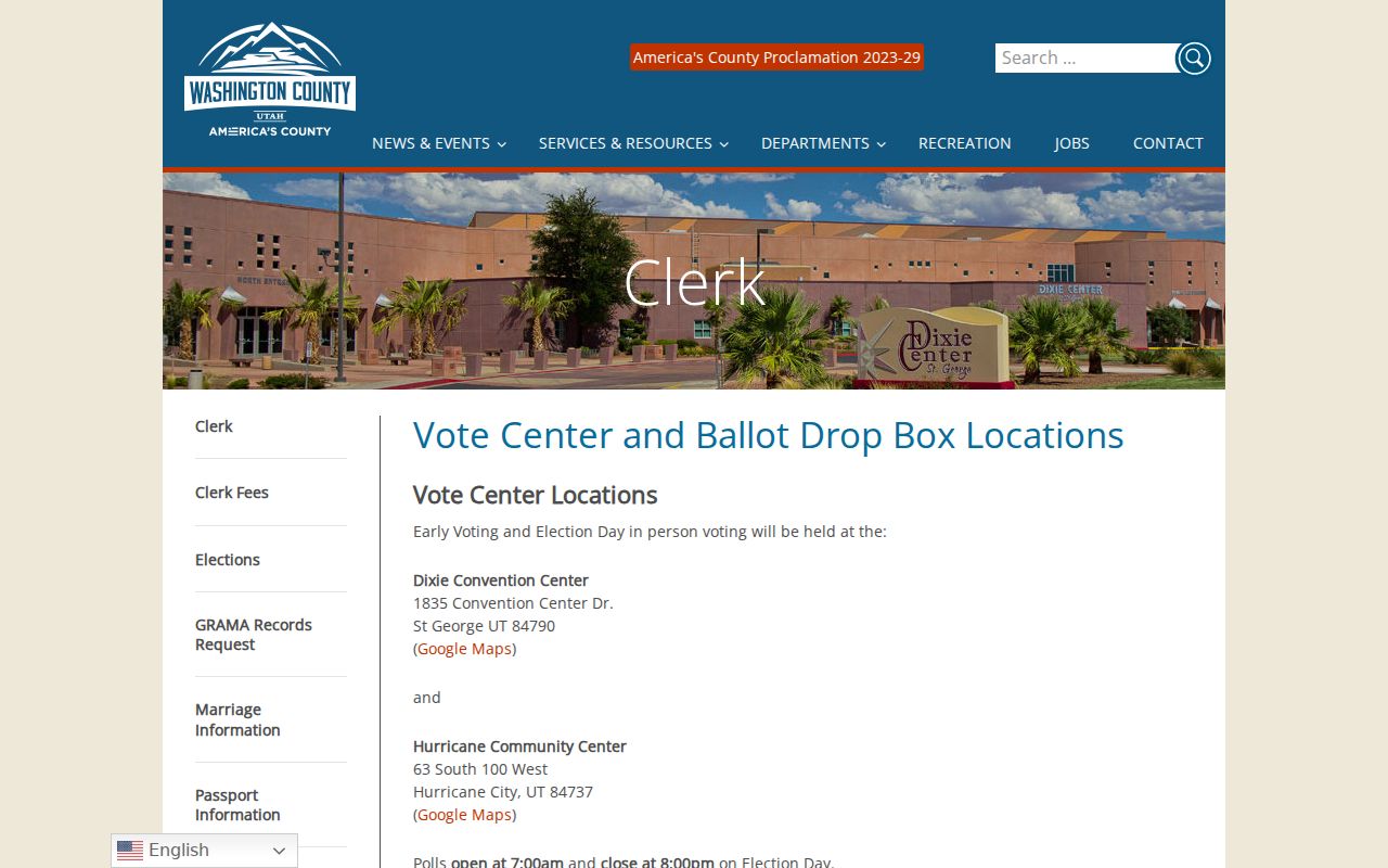
The Washington County elections page illustrates the county civic geography around Hurricane locations.
Compare Hurricane Neighbor Aerial Years
The county GIS map inventory links an Aerial Photo Viewer. Aerial layers can help explain when a road, structure, or parcel pattern appears in the record. They are best used for geography, not private activity. Compare the aerial image with the current parcel boundary and a recorded plat before making a house-history claim.
The result may show a structure where a current map has a different outline, or an open area where a plat later created lots. That is useful context for a neighbors search, but it does not identify who occupied a place. Save the image layer name and date whenever the comparison matters.
The county map inventory lists aerial and ownership resources for a dated Hurricane block lookup.
Hurricane Neighbor Property Watch
County GIS also lists a comprehensive viewer, Recorder’s Office Viewer, Assessor Record Search Viewer, Community Development Viewer, Public Works Viewer, Election Map Viewer, Aerial Photo Viewer, Property Valuation and Tax Changes, Property Tax Estimate, and Ownership Plat Maps. Those names help choose the right layer for a block question. They are not interchangeable resident searches, and a map catalog does not disclose every result field.
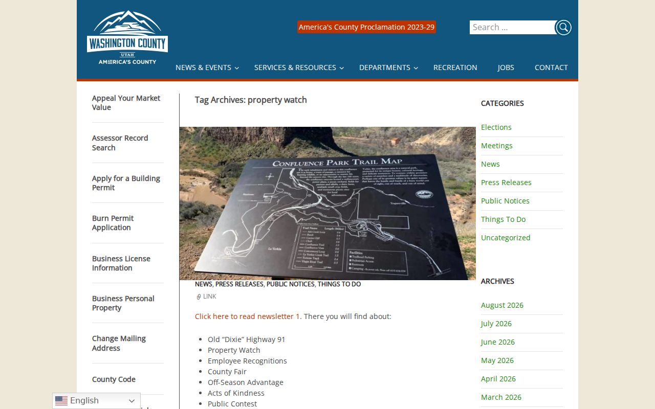
Washington County Property Watch is described as a free service for tracking recorded changes to a property. The inspected page did not publish exact alert fields, so confirm the current behavior before promising a particular notice. It can be useful when a property-change question is more important than a name search.
The Recorder’s Office Viewer is described in the county GIS material as a route to owner, report, and mailing-label information. Check the access date and record type. An owner may live elsewhere, a mailing label may be outside Hurricane, and an entity may own a parcel. These distinctions matter when describing neighbors.
Hurricane Neighbors on Old Plats
The county’s Old Abstract and year-based plats can also explain why a neighboring parcel seems to vanish from a current map. A boundary may have been redrawn, a tract divided, or an older owner replaced by a new legal description. Compare the map year with the Recorder instrument and keep the historical name as written. That is safer than assigning a modern household to an old tract from visual similarity.
Washington County’s Ownership Plat Maps are organized by year, tax parcel, and property lines. The Old Abstract covers 1854 through 1992. Those records can show earlier tract arrangements and ownership names before a current subdivision or street label existed. A historic neighbor may appear as a tract, estate, company, or family name rather than a modern household.
Pair the map with Recorder instruments and the Washington County News. Search the newspaper and county even when the catalog city facet says St. George. Preserve the old legal wording and do not convert it into a current address without a documented bridge.
Hurricane Neighbor News Around a Block
The Washington County News corpus begins in 1898 and includes Hurricane local items. Search a surname with the street, ward, school, canal, or nearby landmark. Inspect the page image because OCR can miss a name or number. An item may report a civic event, family visit, school activity, marriage, birth, or obituary.
News is dated context, not a household register. A story can place someone near a block once without proving ownership or a continuous stay. Compare it with a parcel or historical collection when the identity matters. The official newspaper search is the correct starting route.
Hurricane Neighbor ZIP and Voter Privacy
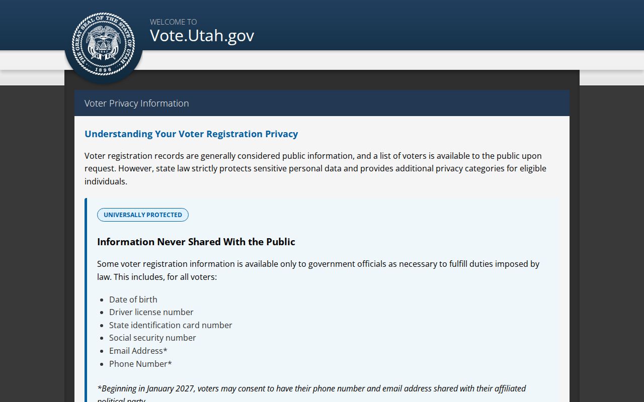
Utah voter records expose defined public name, address, age-range, party, and vote-history fields, while full date of birth, ID numbers, Social Security number, phone, email, and signature are private. Vote history does not reveal ballot choice. Exact status-form fields were not exposed in accessible official text, so use the state route without guessing.
Safe at Home supplies eligible survivors with a substitute address and mail forwarding. Actual home and mailing addresses, city or county of residence, precinct, phone number, and unique identifying location information are protected. Do not infer a protected person’s location from adjacent parcels, a ZIP, a voter field, or an aerial layer.
The Utah voter privacy page defines the limits that matter when searching for Hurricane neighbors.
The Washington County vote-center page adds current civic landmarks to a Hurricane block map.
Describe a Hurricane Neighbor Result
Use “adjacent parcel,” “recorded owner,” “mailing label,” “historical mention,” or “public voter field” when that is what the source supports. Do not turn a property roll into a resident list. Do not infer an unlisted household member, child, guest, or protected participant. A current map result can change, and a historical item may be correct for one date only.
- Keep the starting address and adjacent parcel separate.
- Save the map layer, source URL, and access date.
- Check the custodian before requesting a copy or data extract.
- Compare a second source only when it adds identity or time context.
- Stop when the lawful question is answered.